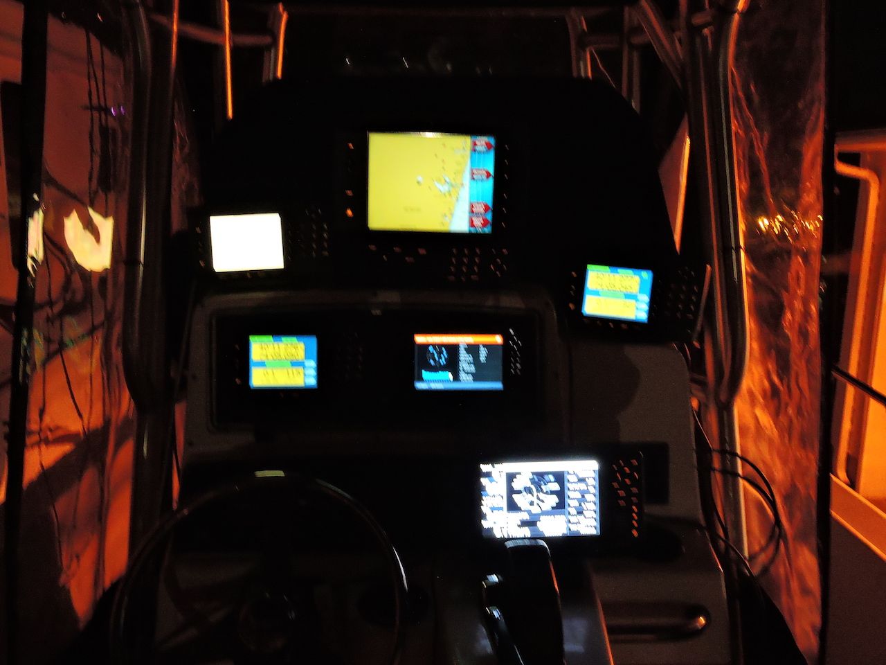
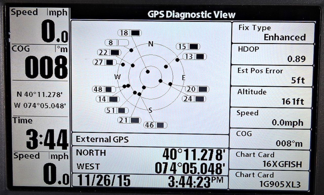
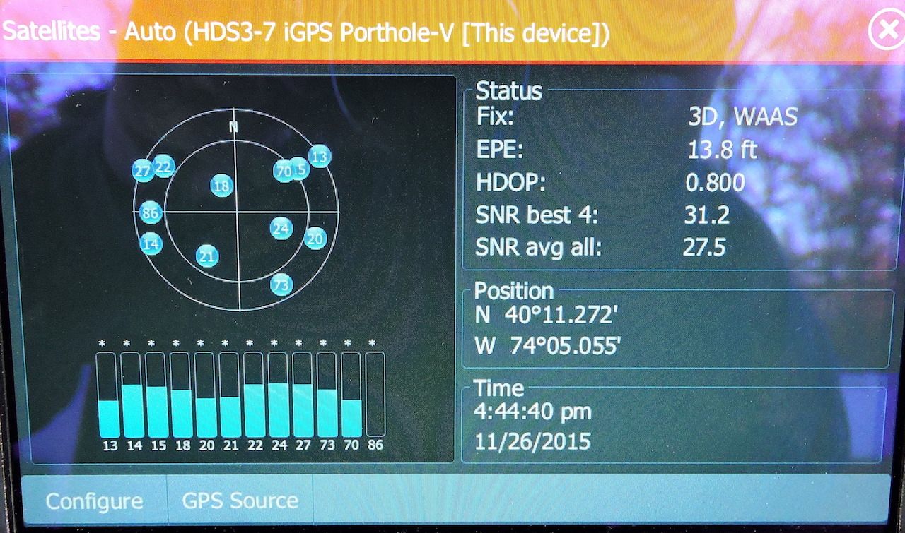
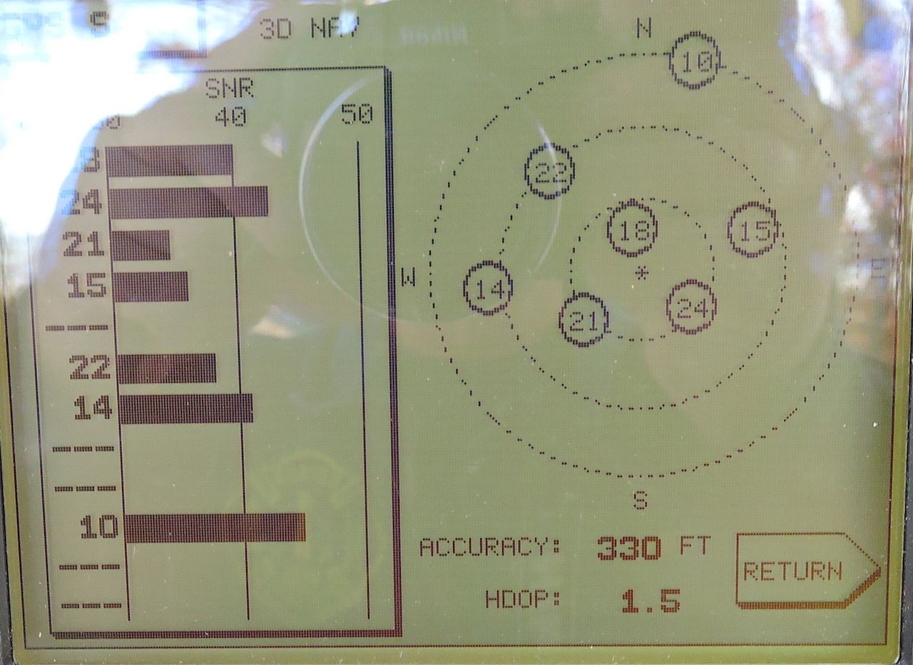
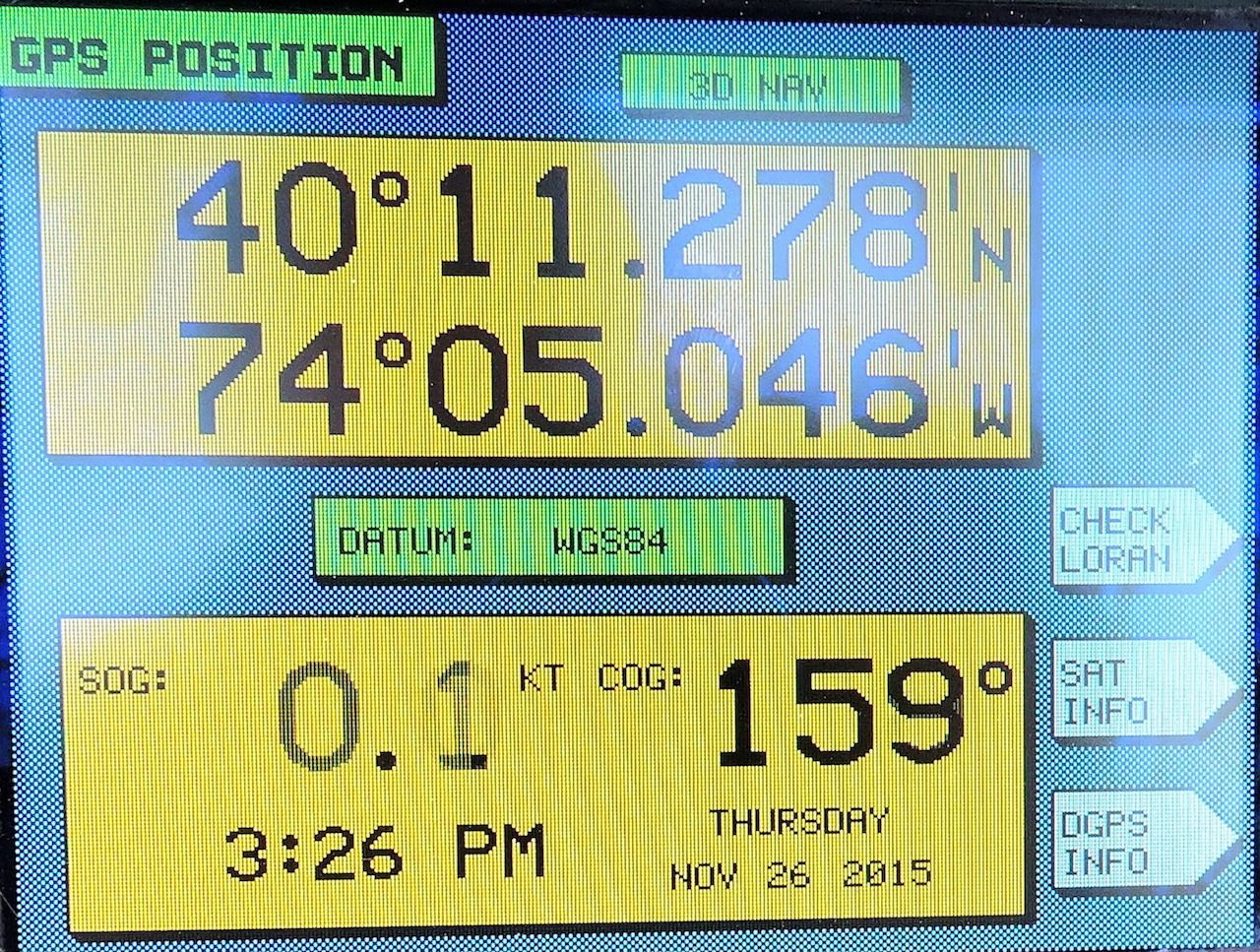
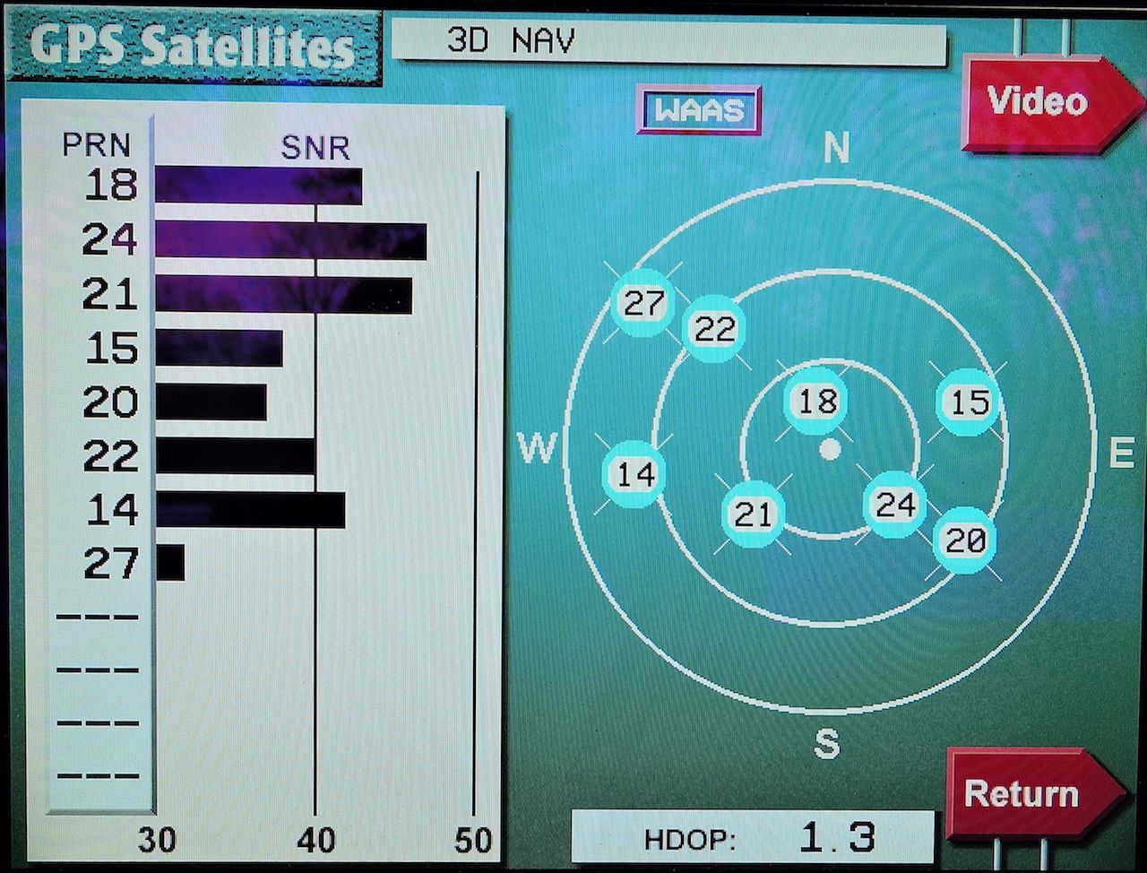
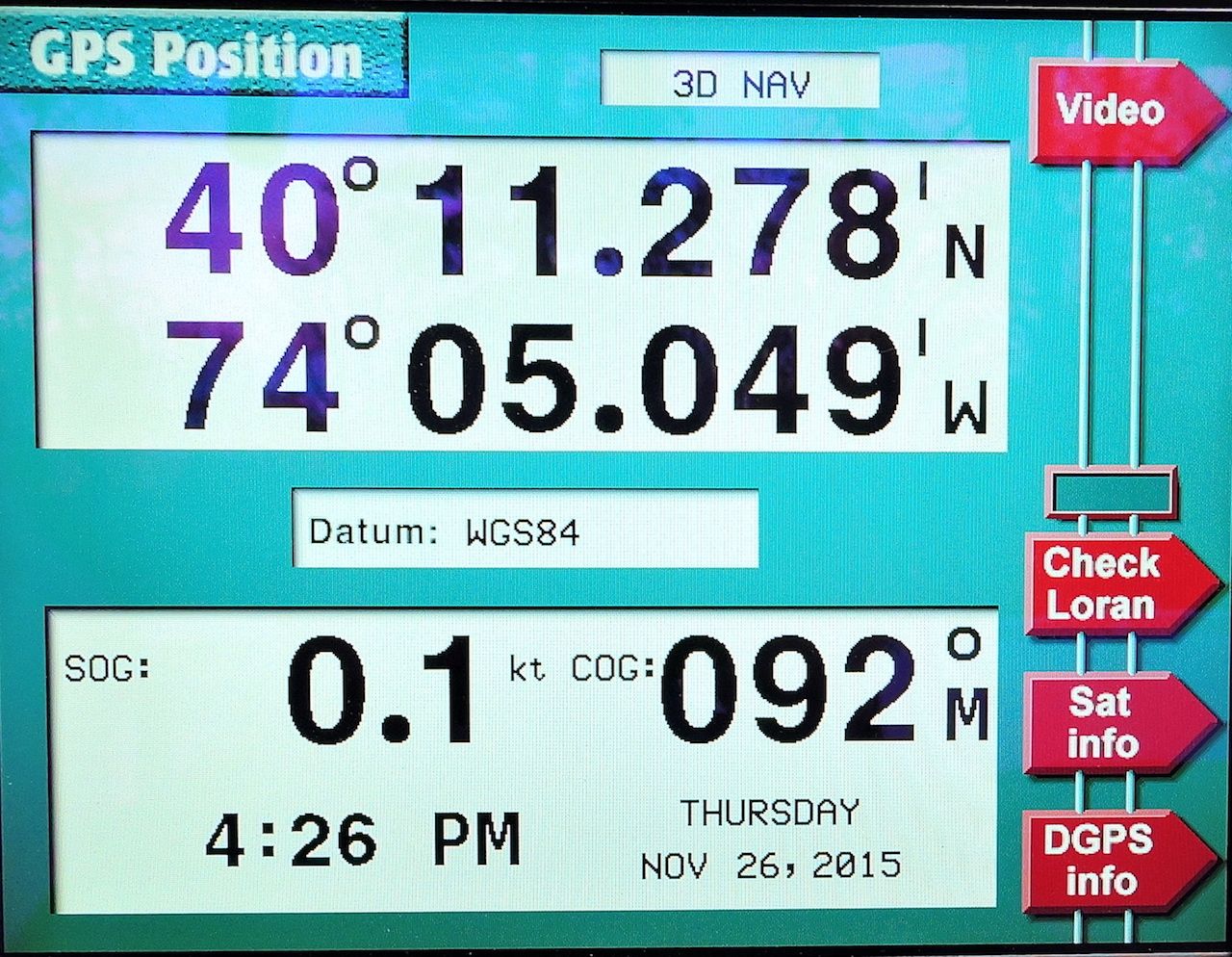
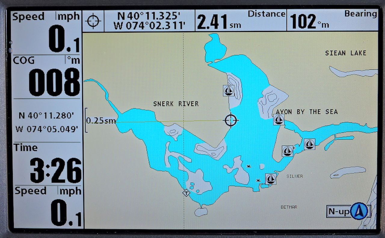
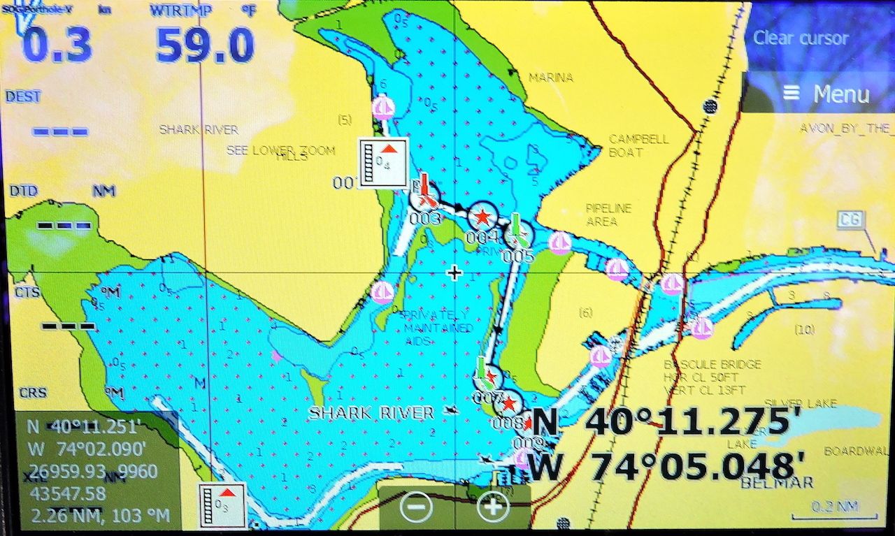
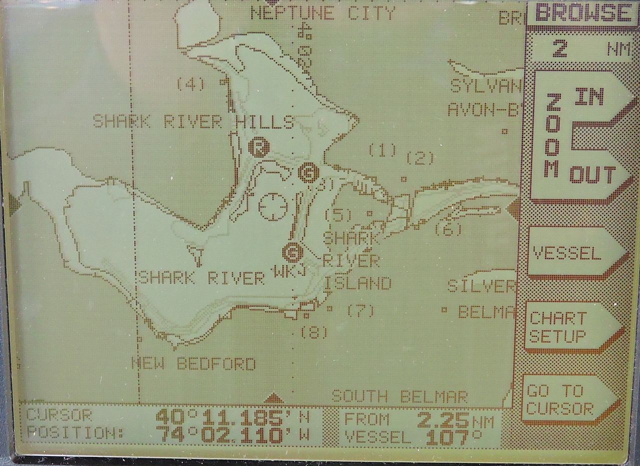
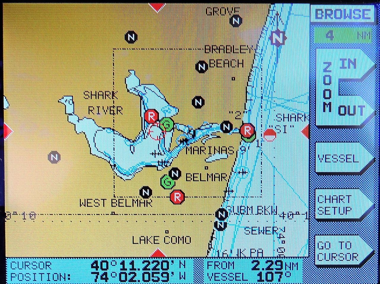
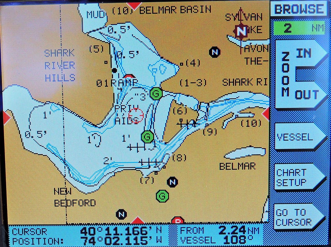
Let me present some of the data in tabular form:
Number of Satellites In view (PRNs), HDOP, Lat/Long
Humminbird 997c = 13 (8, 13, 14, 15, 18, 20, 21, 22, 24, 27, 46*, 48* ,51*), 0.89, 40-11.278N / 074-05.048W
Lowrance HDS Gen3 = 12 (13, 14, 15 18 20, 21, 22, 24 27, 70** 73**, 86**),
0.800, 40-11.272N / 074-05.055W
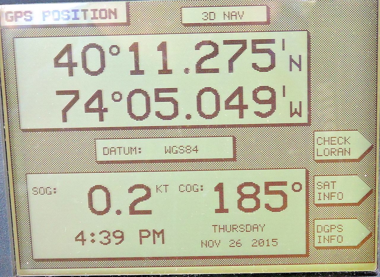
Northstar 951 D = 7 (10, 14, 22, 15, 18, 21, 24), 1.5, 40-11.275N / 074-05.049W
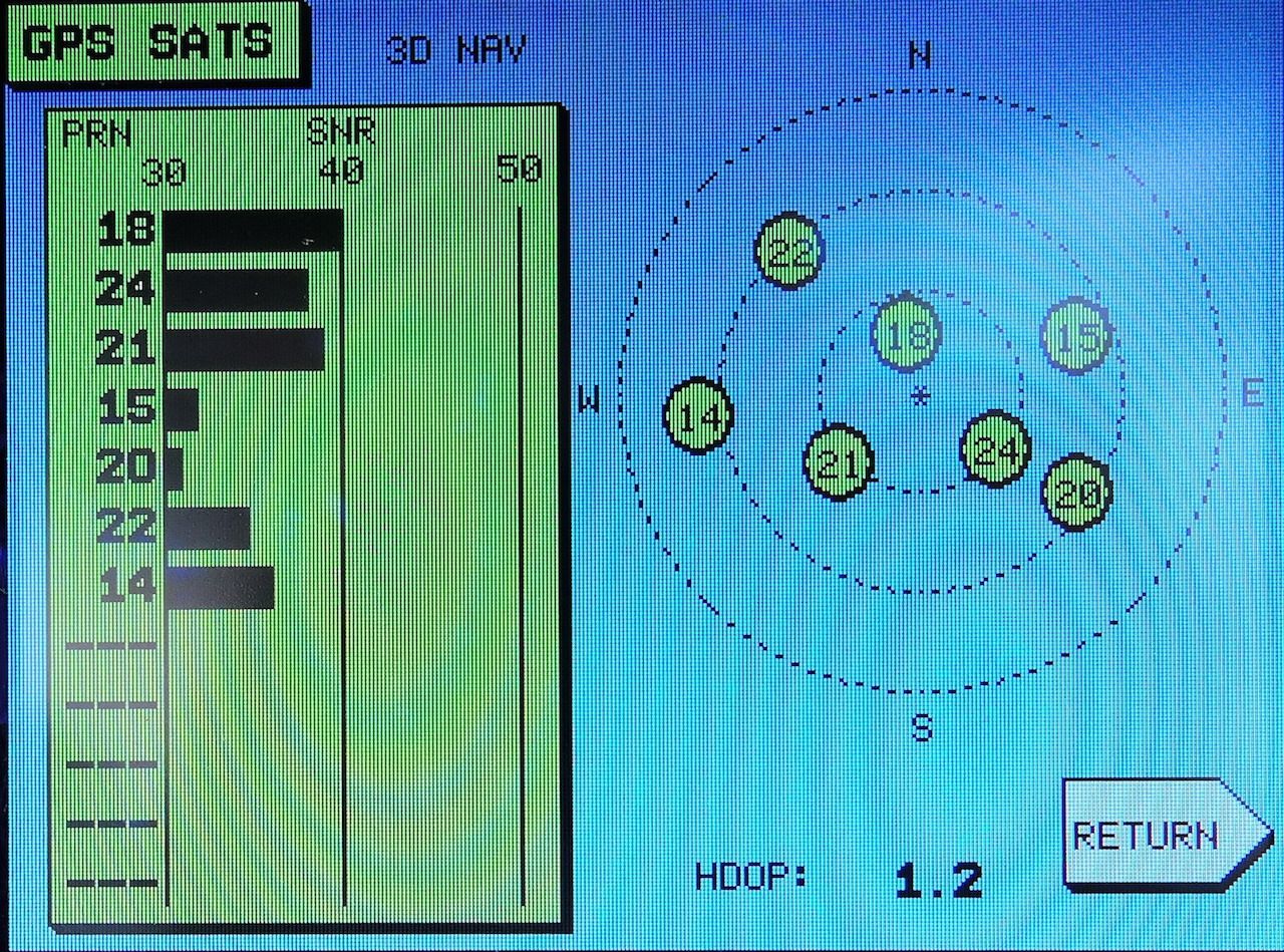
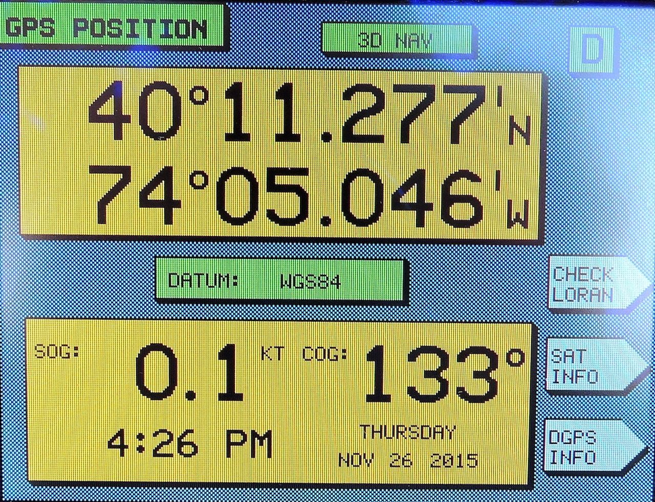
Northstar 952 DW = 7 (14, 15, 18, 20, 21, 22, 24), 1.2, 40-11.277N / 074-05.046W
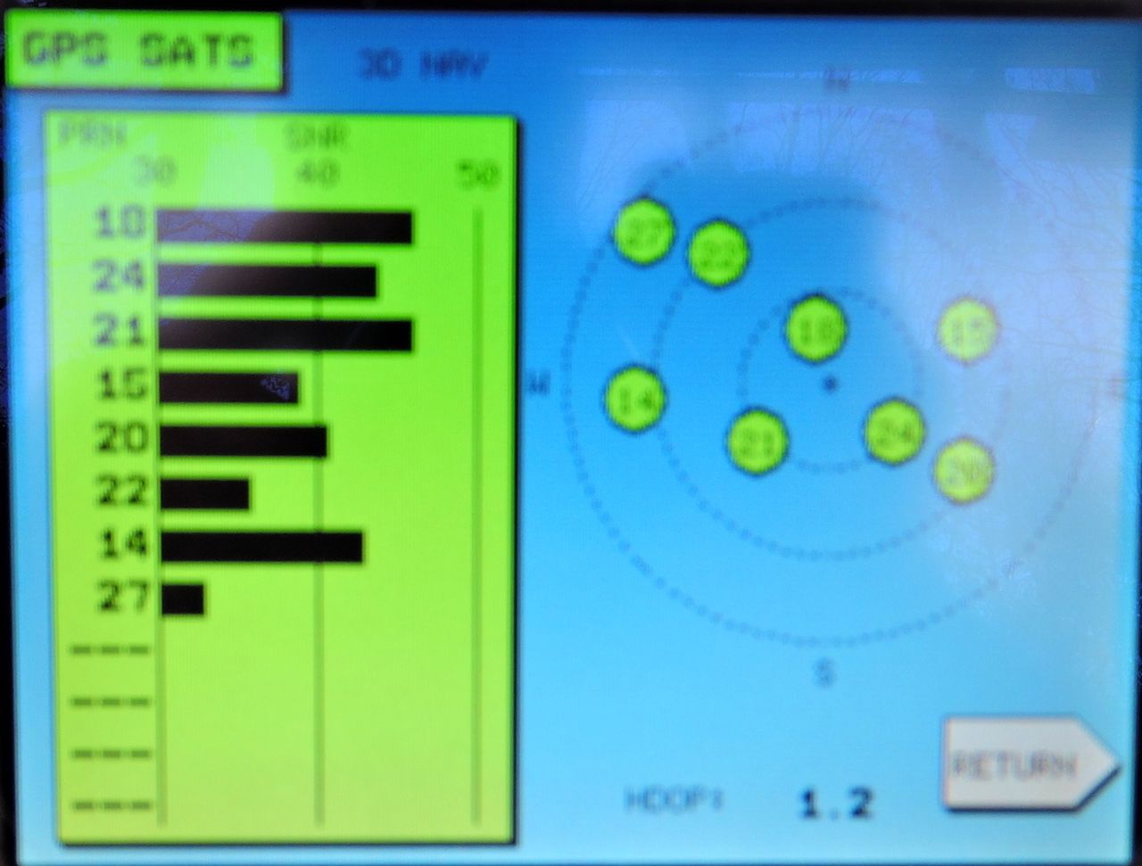
Northstar 952 W = 8 (10, 14, 15, 20, 21, 22, 24, 27), 1.2, 40-11.278N / 074-05.046W
Northstar 958 = 8 (14, 15, 18, 20, 21, 22, 24, 27), 1.3, 40-11.278N / 074-05.049W
* = WAAS
** = GLONASS
NOTES:
TIME: It appears that some of the screen images were taken at different times so the position of the satellites in view is different. This affects the HDOP outcome.
HDOP: The most accurate position solution should be the one with lowest HDOP, which is the Lowrance HDS Gen3.
PRN 32 to 64: NMEA numbers in the range 32 to 64 are used for space based augmentation system satellites. To correspond these NMEA numbers to PRN numbers, add 87 to the NMEA number to get the real PRN. So we see that:
46 + 87 = PRN 133
48 + 87 = PRN 135
51 + 87 = RPN 138
These PRNs are for the United States FAA space-based augmentation system called WAAS. Lowrance's satellites in view page often does not show the space-based augmentation satellites, so we see it has omitted any NMEA numbers in the range 33 to 64 in its display, even though it is receiving at least one of the three WAAS satellites, indicated by the notation of "WAAS" in the description of the position fix. Hummingbird's satellites in view page shows all three WAAS satellites (as NMEA numbers 46, 48, and 51). Of the three, only PRN 135 and 138 transmit pseudo-ranging signals which can be used for the position solution. The augmentation information transmitted is the same on all three satellites.
PRN 65 to 96: The Lowrance receiver shows reception of NMEA numbers greater than 64, NMEA numbers 64 to 96 are used for GLONASS satellites; the SLOT ID of the GLONASS satellite is found by subtracting 64 from the NMEA number. So we see that
70 - 64 = SLOT ID 6
73 - 64 = SLOT ID 9
86 - 64 = SLOT ID 22
The Lowrance HDS Gen3 is receiving three GLONASS satellites in addition to the GPS satellites. This helps it get the lowest HDOP.
The
FAA space-based augmentation system WAAS was described in an earlier article. That article also gives more details about WAAS satellites, their locations, and the look angle to them from North America.
The method for
converting NMEA numbers to PRN numbers was described in an earlier article.
An excellent source of information about GNSS satellites in operation is found at GPSWORLD.COM's
The Almanac page.
SNR: All the receivers show the received signal strength metric as "SNR" or signal-to-noise ratio. This is incorrect, although extremely common to see in receiver reports. The figures shown are the carrier-to-noise density. For a brief explanation see "
SATELLITES IN VIEW--What the Data Means."